Geographical location
Than Uyen district is located in the southeast of Lai Chau province, geographically located:
To the east, it borders Van Ban district, Lao Cai province, Mu Cang Chai district, Yen Bai province
The West borders Quynh Nhai district, the South borders Muong La district, Son La province
To the north, it borders to Tan Uyen district.
Topographic
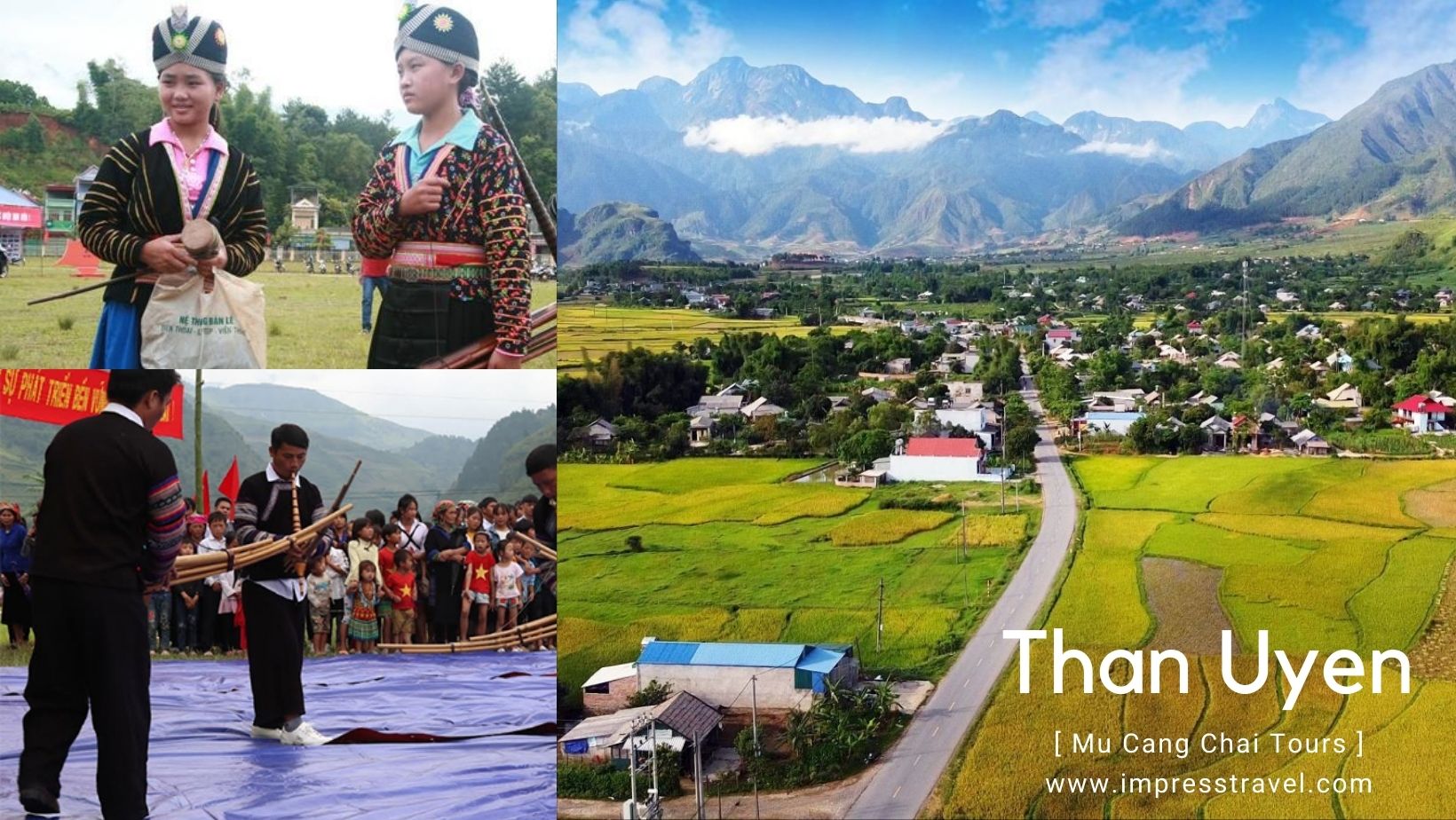
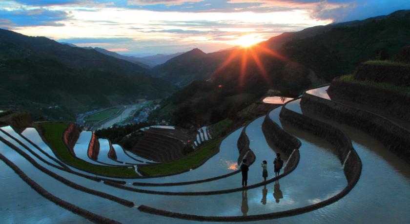
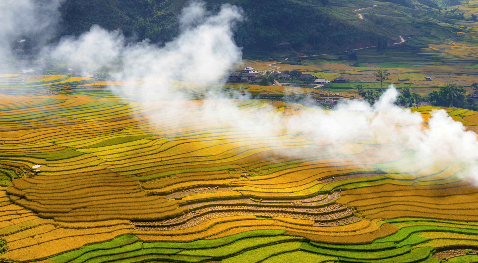
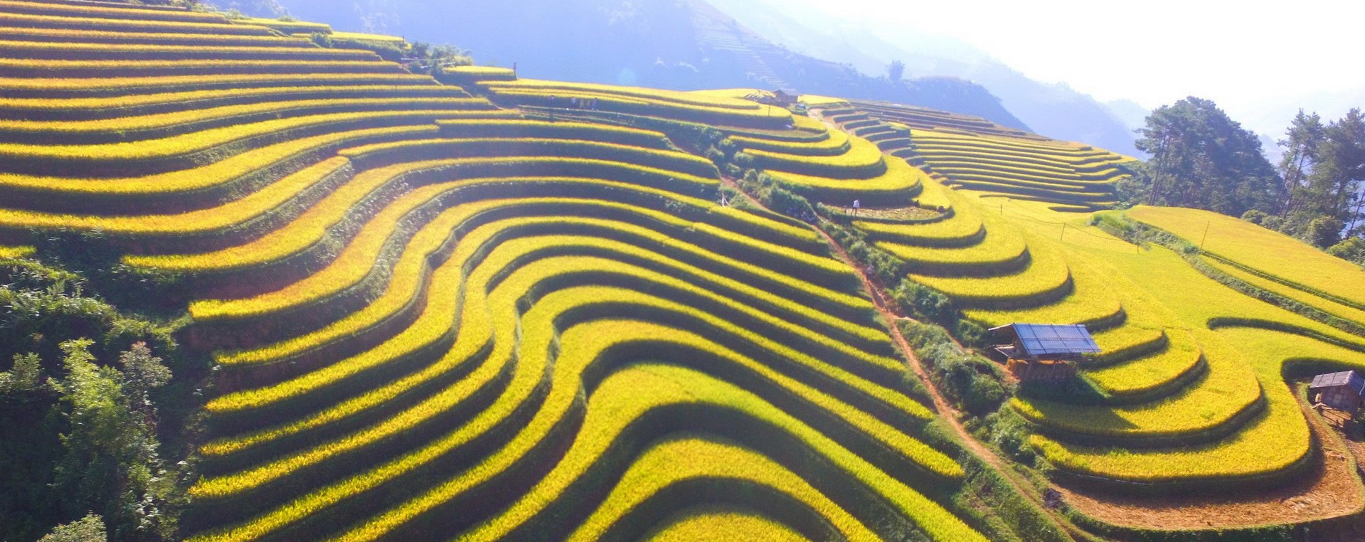
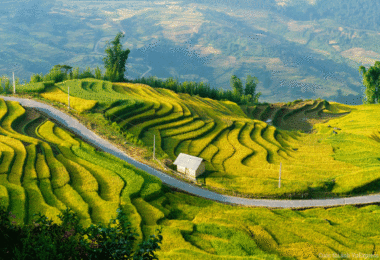
Than Uyen is a basin land, located in the west of Hoang Lien Son mountain range, formed in 3 distinct areas:
The eastern area is the western slope of the Fansipan mountain range, high mountains with rugged terrain and steep slopes.
The western area is a low hill and mountain in the Pu San Cap range, the altitude is from 600-1,800m.
The middle area: Running along Highway 32 from Phuc Than to Khoen On, a valley is composed of hills and mountains interspersed with plains with an altitude of 500–650 m above sea level.
River
Than Uyen belongs to Nam Mu river basin (level 1 tributary of Da river) with a density of 1.5 – 1.7 km/km², thick type, due to uneven distribution of rainfall in the year, so the rainy season Too much water causes floods, when dry, there is a shortage of water, and the waterways are exhausted.
Climate
The climate is divided into two distinct seasons:
The rainy season is from April to October, rainfall is concentrated in June and July every year.
In the dry season from November to March of the following year, rivers and streams dry up, and often dry winds appear (Lao wind).
The average rainfall is 1,800 – 2,200 mm/year, the average temperature is 22-23oC, and the average humidity is 80%.
Acreage
The total natural area of the whole district: is 79,252.93 ha.
Agricultural land area: 31,890.2 ha.
Non-agricultural land: 3,813.3 ha.
Unused land: 43,984.0 ha.
Than Uyen has two basic soil types as follows:
Yellow-red fertility soil accounts for about 35% and is distributed at an altitude of 900–1200 m.
Red yellow fertility soil accounts for about 65% distributed at altitudes < 900 m.
Residential
As of December 31, 2017, the total number of people in the district: is 66,589 people. The total number of households is 13,838 households, of which the number of poor households: is 3,340 households
Than Uyen district has 10 ethnic groups:
Thai: 7,273 households 40,450 people (73.2%)
Kinh: 1,987 households 7,252 people (13.1%)
H’Mong: 920 households 5,829 people (10.5%)
Kho Mu: 226 households 1,261 people (2.3%)
Knives: 59 households 321 people (0.6%)
Ethnic resistance 51 households with 161 people (0.3%), including Tay, Lao, Cao Lan, and Nung.
Administration
Than Uyen district has 12 commune-level administrative units, including Than Uyen town (district capital) and 11 communes: Hua Na, Khoen On, Muong Cang, Muong Kim, Muong Mit, Muong Than, Pha Mu, Phuc Than, Ta Gia, Ta Ha, Ta Mung.
The road project connecting Muong La (Son La), Than Uyen, Tan Uyen (Lai Chau), Mu Cang Chai, Van Chan, and Van Yen (Yen Bai) – a total length of 69 km with Noi Bai-Lao Cai highway (IC15) has a total cost invested 1,900 billion VND.
On January 1, 2022, in Che Cu Nha commune, Mu Cang Chai district, Yen Bai province’s People’s Committee organized the ground-breaking ceremony of the road connecting Muong La (Son La), Than Uyen, Tan Uyen (Lai Chau), and Mu Cang. Chai, Van Chan, Van Yen (Yen Bai) with Noi Bai – Lao Cai highway (IC15).
The road project connecting Muong La (Son La), Than Uyen, Tan Uyen (Lai Chau), Mu Cang Chai, Van Chan, and Van Yen (Yen Bai) with the Noi Bai-Lao Cai highway (IC15) has a total cost invested 1,900 billion VND. The project is invested by Yen Bai Province Traffic Construction Investment Project Management Board.


