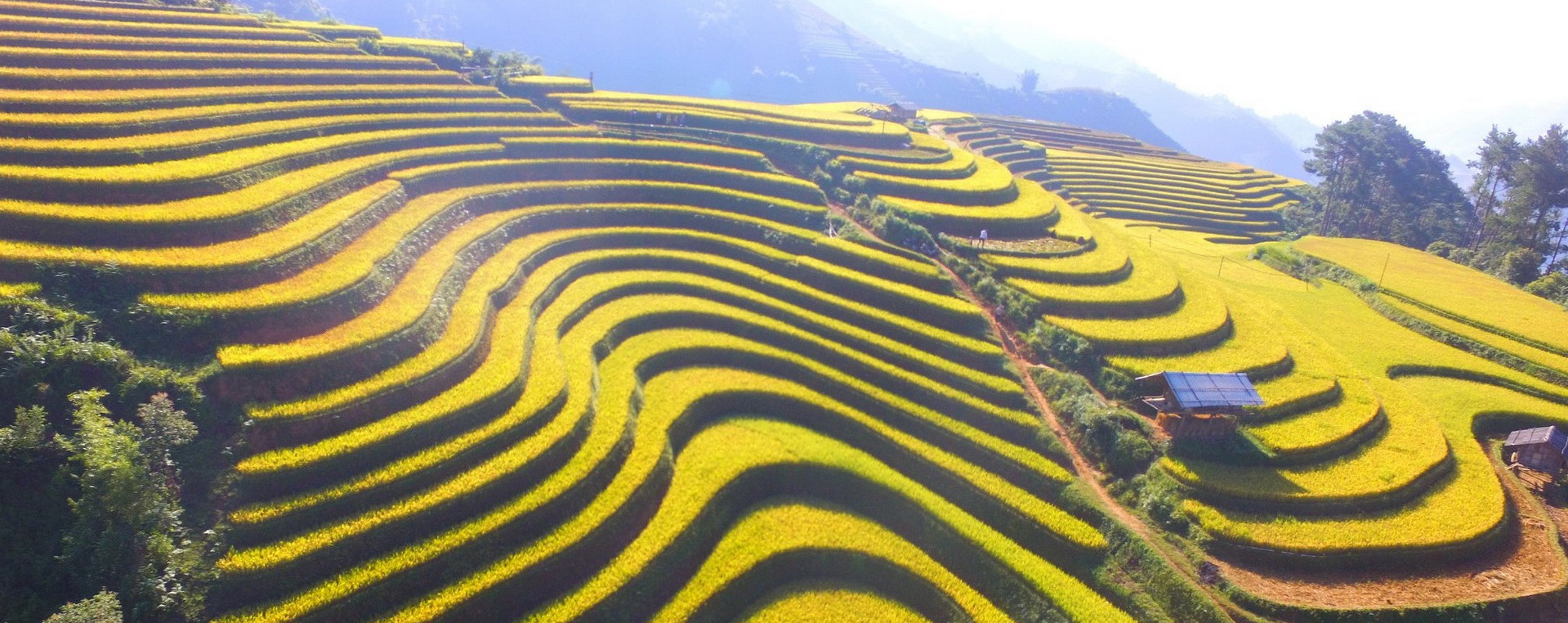
Che Tao is a commune of Mu Cang Chai district, Yen Bai province, Vietnam.
Area – Population
- Che Tao commune has a total area of 235.4 km² square kilometers.
- The total population in 1999 was 1453 people, the population density corresponds to 6 people/km².
- 100% of the Mong ethnic group, the people’s livelihood is mainly based on agriculture, self-sufficiency, and self-sufficiency, the rate of poor households accounts for 64.2% without good households.
Geographical location, topography
Che Tao commune belongs to Mu Cang Chai district, Yen Bai province. Located in the southeast of Mu Cang Chai district, located in the area of the biosphere reserve, conservation of ornamental species is a particularly difficult commune over 35 km from the district center (the farthest commune of MCC and the province). Yen Bai).
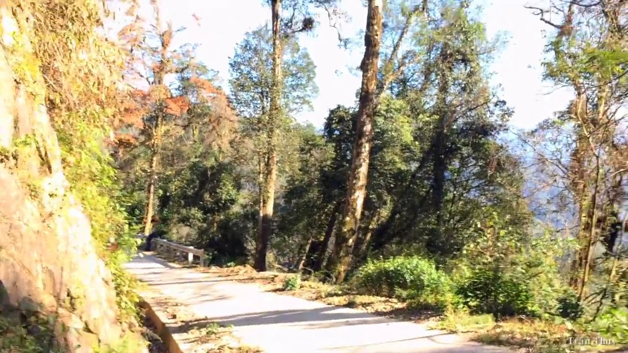
The terrain is rugged and mountainous, and traffic is difficult, especially in the rainy season.
Economy
If Mu Cang Chai district is considered the poorest district in Yen Bai province, Che Tao is considered the most difficult commune in this district. The only road from the center of Mu Cang Chai district to Che Tao commune is more than 35km long, but it is slippery all year round, and very difficult to walk. The lives of the people here are almost isolated from modern society, mainly self-sufficient.
The commune does not have electricity to the grid, and there is no signal from the telephone networks. There are only a few electric machines used by Son La. However, the wave is very poor.
The infrastructure
This commune is very poor. The whole commune has a health station at the commune center.


