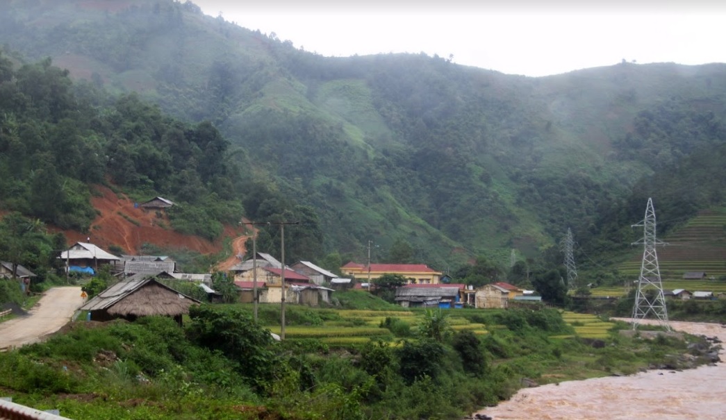
Ho Bon is a commune of Mu Cang Chai district, Yen Bai province, Vietnam.
- Area – Population Ho Bon commune has a total area of 53.75 km in square kilometers.
- The total population in 1999 was 1613 people, the population density corresponds to 30 people/km².
- Ho Bon has 437 households, 331 households are poor;
Out of 2,410 people, 95% are from the Mong ethnic group, of which 79% are poor households, with a per capita income of 5.4 million VND/year, including support from the State. Besides, the commune has 4 villages. not yet known “light electric lamp".
Most of the children’s roads to school here are dirt roads, very difficult and dangerous when it rains. Ho Bon is more than 20 km from Mu Cang Chai town, the mountain road coincides with the mountain road, bordering Lai Chau province, only 6 km more to the town of Than Uyen district of this province.
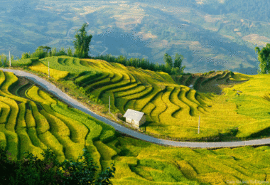
Located along National Highway 32 is 9 km, width is up to 15 km, Ho Bon has a natural area of 5444, ha. As an upper district commune, Ho Bon is bordered by 3 communes: Ta Mang, Muong Kim, and Na Cang of Than Uyen district (Lai Chau province) and Nam Xeng of Van Ban district (Lao Cai province). Unlike many communes, there are 344 households and over 2000 people, of which 95% are Hmong people who do not live on the road surface. Because of the high mountains and sloping land, people have to retreat deep into the mountains to have farming land. Therefore, it takes all day to go to the people in the villages. In the high mountains, there are not many fields. The whole commune has only 80 hectares of wet rice fields, of which 40 hectares have water for two crops.


