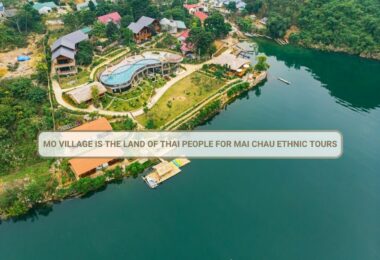
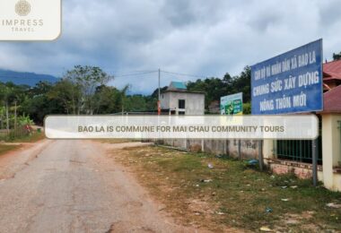
Mai Chau district covers an area of 57127.98 hectares of natural land; with a population of 53 944 people. The topography: is mostly streams, hills, and high mountains and it is divided into two distinct areas: Low and high areas: The low-land is distributed along the Xia Stream and Mun stream, it has an area of nearly 2,000 hectares of mostly flat terrain and very fertile land. The high lands form a belt circling other districts, including 8 communes with a total area of 400 km2, with many mountains of high and rugged terrain. The average height is about 800 - 900 meters above sea-level, the highest point being 1.536m (located in Pa Co), and the lowest point being 220m (the town of Mai Chau). The average slope incline is 30 to 35º. Overall, the Mai Chau terrain is descending vertically from northwest to southeast. The climate: Located at the gateway to the north-western region of Vietnam, Mai Chau’s climate is influenced significantly by the strong Northwest monsoon, with a partly tropical climate. The hot hours during the summer days are 5-6 hours and winter 3-4 hours. The average humidity stands at 82%. It is a year with two distinct seasons. The rainy season lasts from May to October, with the most concentrated rainfall from July to September and an average of 122 rainy days per year, occasionally affected by tornadoes and strong winds from Laos. During the rainy season, the wind replenishes the moisture and steam, with relatively strong wind intensity. The dry season lasts from November to April with a dry climate, low humidity, and with day frost, fog, and cold drizzle. Temperature fluctuations are higher during day time. The wind direction is from the north-east monsoon. Tourism: is considered to be the strength of Mai Chau district with some cultural tourist destinations popular with domestic and foreign tourists; such as; Lac Village (Chieng Chau), Cum village (Van Mai), Pom Coong Village (Mai Chau town) ... With 800 hectares of water surface area, the Da River and Lake is a beautiful setting, bringing more tourists to visit Mai Chau. To promote the potential strengths of Mai Chau, Mai Chau Government started a campaign for the promotion and conservation, of the culture and traditions of Mai Chau to be known all over the world. Investment in promotion, broadcasting, and infrastructure have improved the quality of tourism services in Mai Chau, For example, The Mai Chau government tourism authority has collaborated with the Spanish National TV, and Vietnam Television on the program: "Tourism development in Mai Chau ethnic minority", which promotes tourism to Mai Chau district around the world. In 2014 Mai Chau district received 301.000 travelers who came to visit and explore Mai Chau, The international visitors are 77,178 unique visitors and the total income from tourism reached over 50 billion VND. People in Mai Chau: Mai Chau is home to many ethnic groups who live here. In 2014, the population was 53, 944 people in the Mai Chau district. Of these, 60.2% of Thai People, 15,07% of Muong people, 15.56% of Kinh, 6.91% of Hmong, 2.06% of Dzao, and others.


