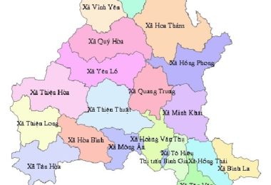
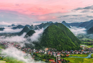
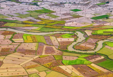
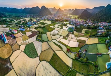
Lang Son Province is a mountainous and bordered province in the Northeast with a natural area of 8,310.09 km2, the narrowest city is Lang Son 77.94 km2, the widest one is Dinh Lap district with 1,189.56 km2. Lang Son Province is located at the National Highway 1A, 1B, 4A, 4B, 279 via this province, is an economic intersection point with the western provinces of Cao Bang, Thai Nguyen, Bac Kan, the East is Quang Ninh province. The Southern part of Lang Son is Bac Giang and the Vietnam-China borders, with 2 international border gates (Huu Nghi border gate, Dong Dang border gate), Chi Ma border gate.
Lang Son Province is the first point of Vietnam on two economic centers (Nam Ninh (China) - Lang Son - Hanoi - Hai Phong, Lang Son - Hanoi - Ho Chi Minh City - Moc Bai (joining the Trans-Asia road: Nanning - Singapore), is an important gateway connecting China and ASEAN countries. Constructing highways connecting Bac Giang, Bac Ninh, and Hanoi cities, with an international railway connecting with Guangxi, China is very convenient for economic, cultural, and scientific exchange. - Technology with provinces in the country with China.
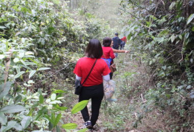
The terrain, mainly low mountains and hills covering for more than 80%, an average altitude of 252 m above sea level, the lowest place is 20 m in the south of Huu Lung district and the highest place in Mau Son mountain 1,541 m. Mau Son tourist area is planned as a national tourist area, 31 km east of Lang Son city.
The climate of Lang Son province, although located in the tropical monsoon area, has the characteristics of the sub-tropical climate, the temperature is not too high, the winter is relatively long and quite cold. The average temperature is from 21 - 220C, the rainfall is from 90 - 132 mm, the humidity is from 83 - 85%. There are still 94,513 hectares of unused land, mainly rocky mountains without forests.


