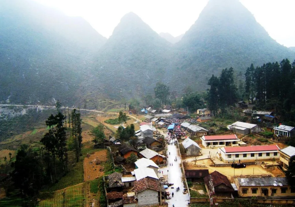
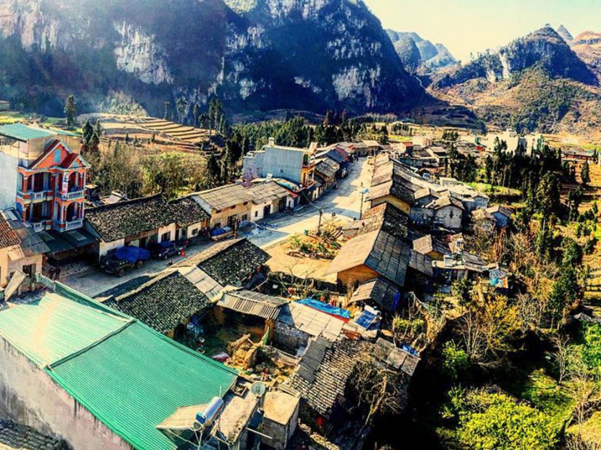
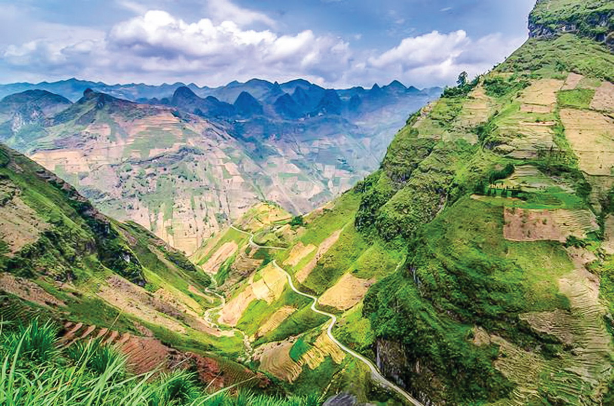
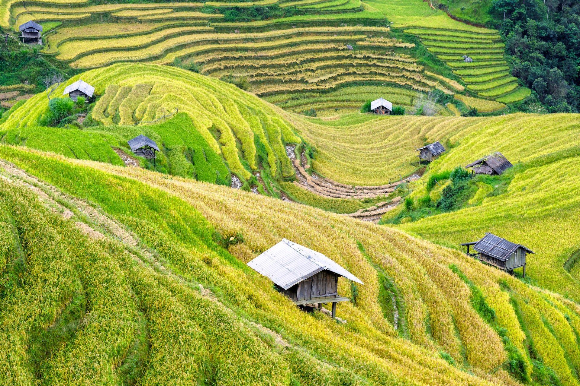
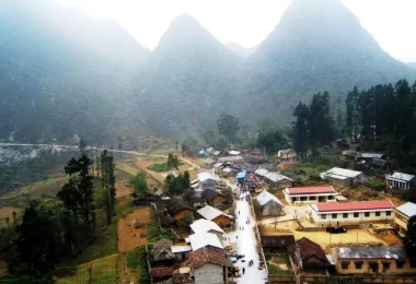
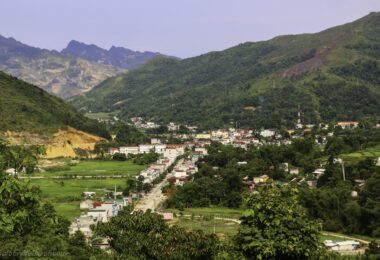
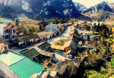
Dong Van Town: Deep, magnificent, like reminiscent of a golden age. The old town, Dong Van ancient market lies dormant in the early morning mist of the rocky plateau, as a historical proof of an attractive land in the border region, the top of the country. Developing trade and tourism services is a strength promoted by the authorities, businesses and people of Dong Van town, as well as contributing to the restoration and preservation of the old town, Dong Van ancient market, a cultural stopover. and unique tourism between the rocky plateau, the global geological park.
Sa Phin Village:
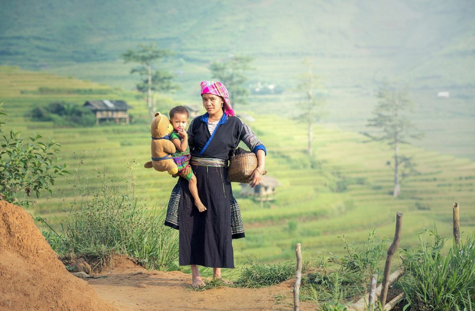
The HMong King Palace in Sa Phin was the former residence of the kings of the Vuong Dynasty. Now one of the great stops along the Ha Giang loop, where you can learn more about the past of Ha Giang and the Hmong minority who used to rule here. In addition, you can also find the local Sa Phin market in this town held once a week.
- HMong King Palace
- Sa Phin Market
- Get to Sa Phin by bus, private car/van, motorbike.
Yen Minh:
Located on Dong Van Global Geopark – Stone Plateau (CND), but from 2016 and earlier, Yen Minh district is still only considered as a “stepping stone" stop for tourists when coming to Con Dao. Because the number of tourists coming and staying in Yen Minh is very low compared to other districts in the Central Highlands.
Lo Lo Chai Village:
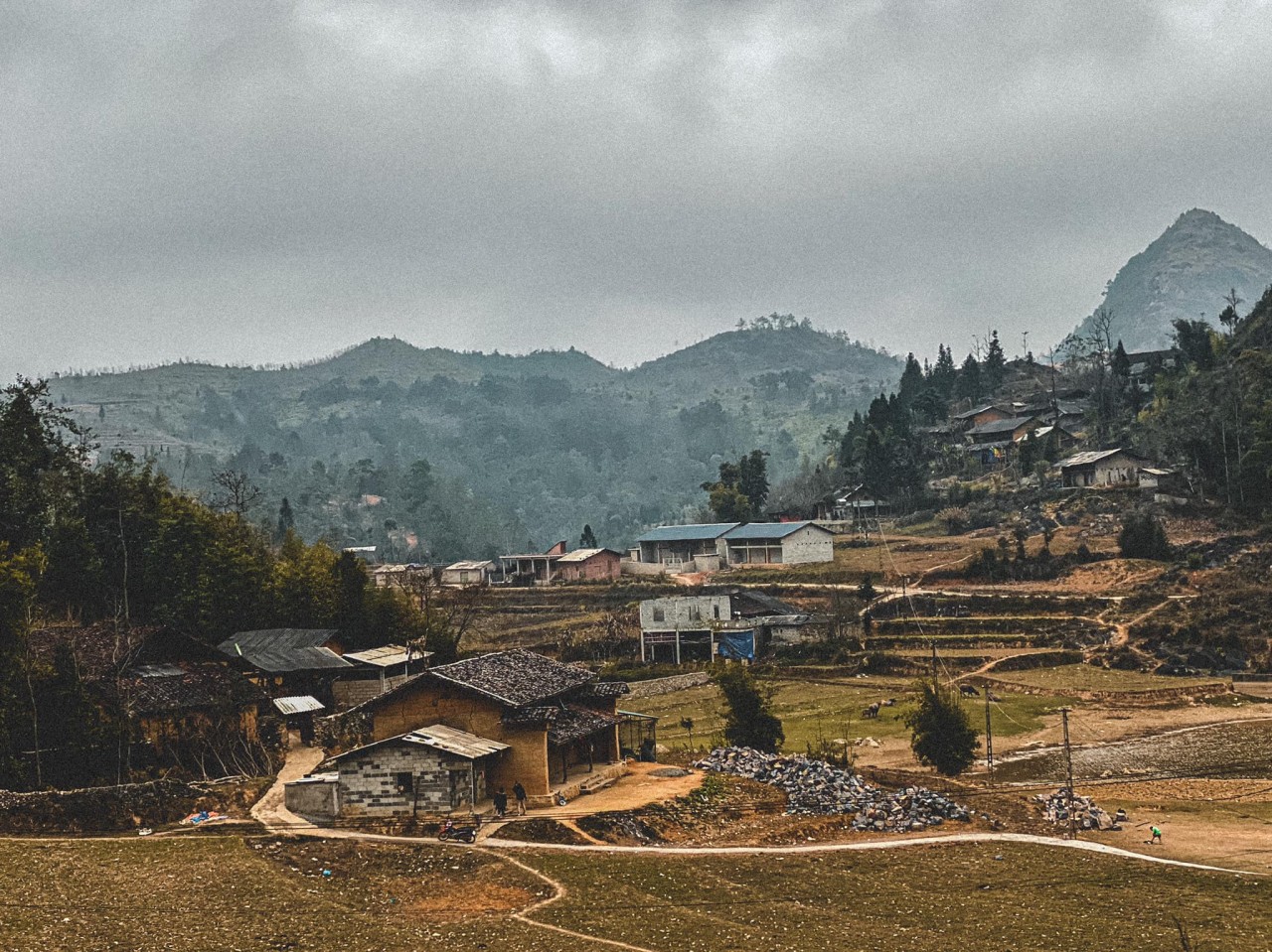
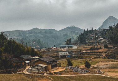
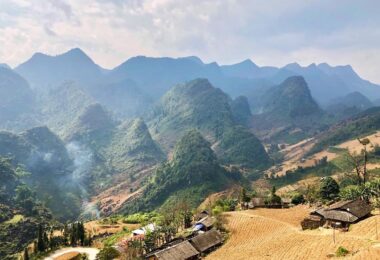
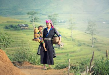
Nested in a rocky Dong Van plateau, Lo Lo Chai village is one of the most remote communities in Northern Vietnam. This village still retains its peaceful atmosphere and isn’t affected by society.
I stayed in this village on my trip to Ha Giang, and it was amazing. In this guide, I’ll share useful information about Lo Lo Chai village so you can plan a perfect trip there.
Ha Giang City:
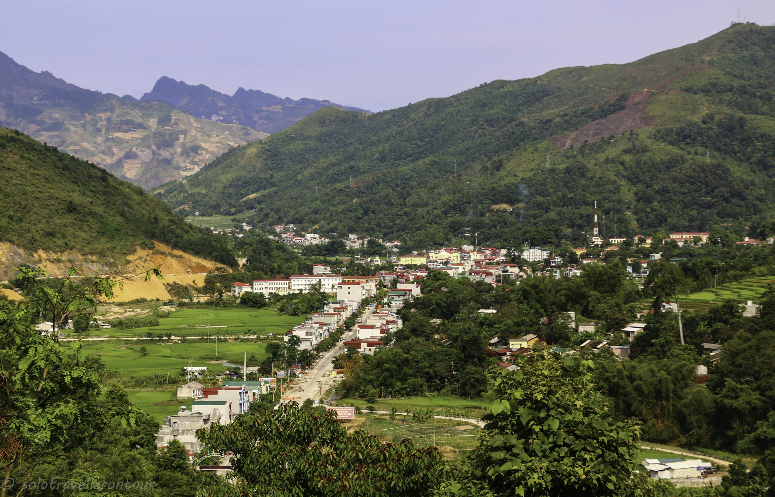
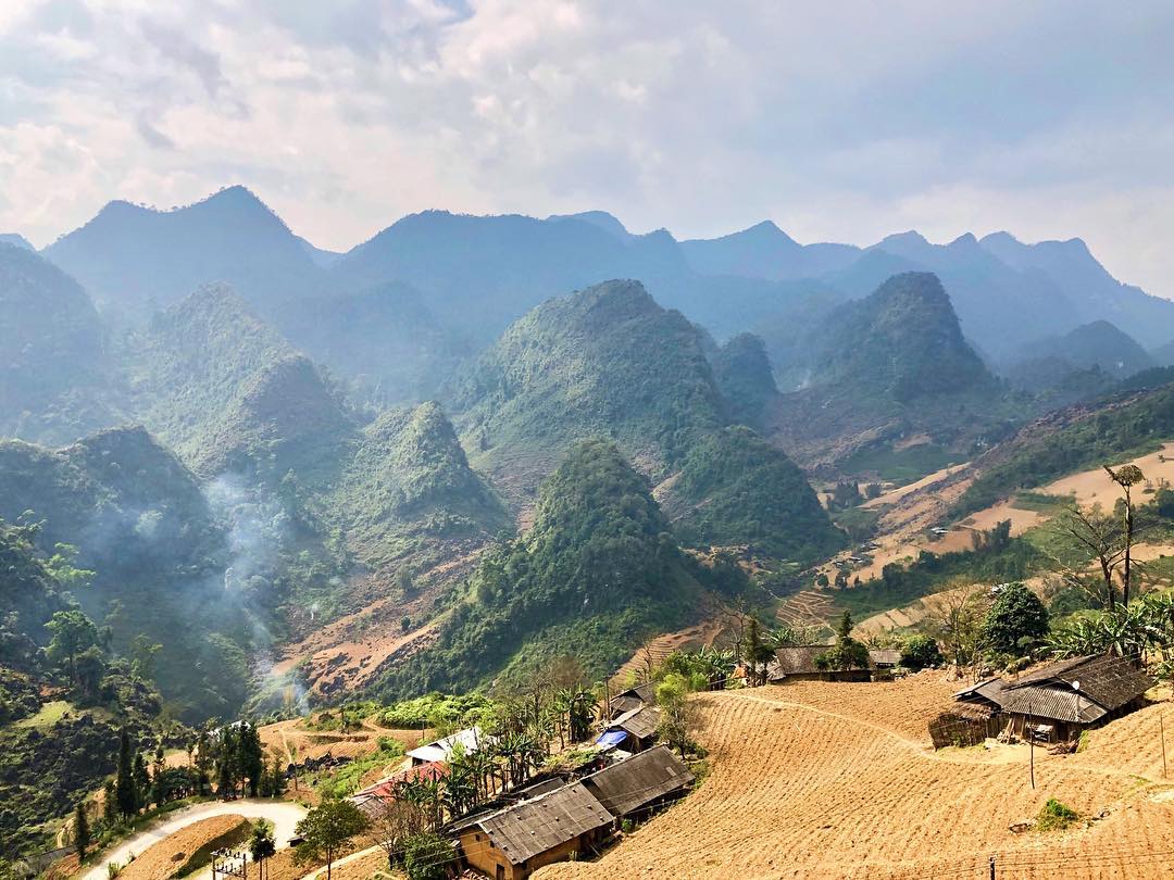
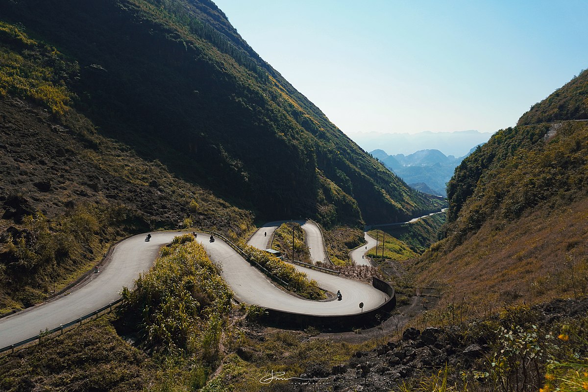
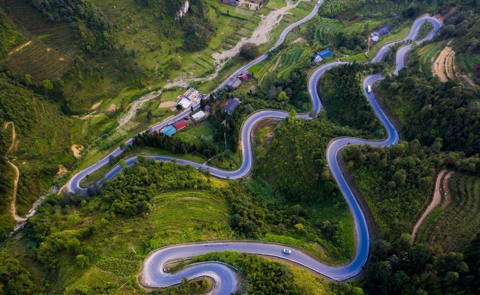
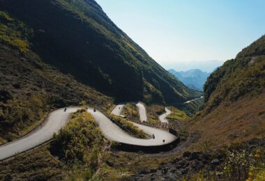
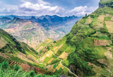
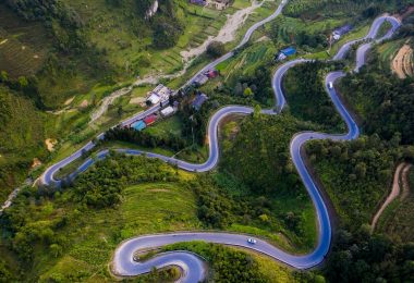
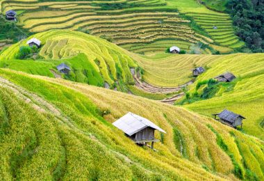
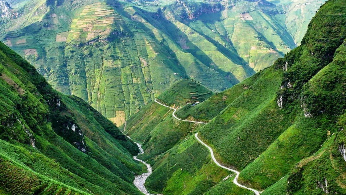
The administrative center of the province is Ha Giang City, 320 km from Hanoi. We driving car/van to Ha Giang city and stay here for one night. To discover Ha Giang Loop with the topography of Ha Giang province is quite complicated, with many high rocky mountains and rivers , which can be divided into 3 regions. The northern rocky highland is located close to the Tropic of Cancer, with quite steep slopes, and many valleys and streams are divided. Located in a humid subtropical climate, but due to high terrain, Ha Giang’s climate has many temperate nuances. The western mountainous area belongs to the massif upstream of the Chay River, steep slopes, high passes, valleys and narrow stream beds. The lowland areas in the province include hilly areas, Lo river valley and Ha Giang city.


